Showing posts with label Ross Sea. Show all posts

Saturday, February 26, 2011

26 February--Eddied Out in Antarctica


Wave action, tidal fluctuations, wind, and relatively "warm" currents under the ice continue to nibble away at the Ross Ice Shelf.  No one can remember this part of the Sound being so open in 20 years.  Climate change?  Maybe.  But we have to keep in mind that every year is different and we'd have to look at the trends over many years to draw conclusions.  The ice in the ice shelf is advancing every year and when in some years it's not knocked off, the front will advance.  In other years, perhaps like this one, it will be cut back and appear to recede.  What's it all mean?  Too soon to tell, in this case.

Look near the horizon for the Pegasus Road.  It's going to have to be rebuilt this winter and it's estimated that it will add 10 miles to the 13 mile route to the airfield.

Also, note that the pressure ridges have been blown away.


This an entirely new sort of ice to me.  It was floating on the open water and acted like thinly set Jello, dampening the height of the waves coming in.


Thursday, February 24, 2011

24 February--Supposed to Have Flown Out Yesterday

I checked my baggage in on Tuesday for Wednesday's flight, but...      The best laid plans of mice and men.

Two plane loads of people were supposed to have flown out yesterday, but it's now looking like it might happen tomorrow, Friday the 25th.  A blizzard descended on the Ross Sea area and visibility went down dramatically, at times to zero.  For an area known as being dry, a polar desert in fact, the drifts of snow are pretty significant.  At times the weather has caused Condition 1 to be called out on the Ice Shelf where the airfield is, meaning that anyone trapped out there must remain inside whatever building or vehicle they are in.  Things are supposed to improve today and we're likely to have good conditions by Friday.

The plan was for us to be flown out on the RNZAF Boeing 757.  With the earthquake they have been reassigned for more important work flying supplies south from Wellington, the capital, and people north out of Christchurch.  Thanks to my friend Mike Rettie I have this website for the latest news from Christchurch:
http://www.nzherald.co.nz/ 

I guess there's a fitting symmetry in my stay here at McMurdo ending this way.  I flew into Christchurch a few weeks after their big September 4th earthquake and will fly back there soon after this biggie.  I was stuck in Christchurch for a few day due to weather on the Ice and am now stuck again in McMurdo due to storms.  Like they say, it's a harsh continent.

Friday, February 18, 2011

18 February--Last Night Kept on Giving

This Adelie seemed to put up with a lot of folks invading its space.

I went down to Hut Point again in the evening and things were even better than they had been that morning.  From the hill with the Vince Cross, people had been seeing 6 or 7 Orcas cruising around the Sound.  There were several Adelies shivering as they molted.  The near shore area was getting  coated with ice underwater, giving the area a tropical paradise azure blue hue.  Surrealy blue. There were also blocks of sea ice that had been thrown up on the shore and then coated with layers of glare ice.  The shore itself was coated with layers of the same white ice, but the layers were arranged to make it look like the layers of travertine like in Havasu Canyon of the Grand Canyon.  But the highlight was when a Weddell seal hauled up about 25 feet away from us.  It gallumphed across the "travertine" ice and the coated blocks over to its mate.  I got several great pictures of it, but they got "lost" somehow in transferring from the memory card to my laptop.  I've asked a friend of a friend to try to retrieve them, but they're not here for you to peruse.  Looks back in a few days and it might be here.  Devastating!
Note: through the generosity of Blake Holt, I have 3 photos of that seal hauling out.  They're at the very end of this post.  Thanks, Blake!

Adelies seem to have a certain similarity to moles and voles.


A Weddell seal over by the Ice Pier.


These are the images Blake let me use from that Weddell seal hauling out near us.


I went back to Hut Point last night, hoping that the seal had a schedule that it adhered to.  I was able to see several seals, but they never hauled out while I was there.

Thursday, February 17, 2011

17 February--Packing in a Few More Visual Treats. Wiki-Leaks Magnitude Download

The weather has been definitely turning colder and colder.  The austral winter is nearly here.  The last 2 of the 6 LC-130s left today.  The last ship will leave tomorrow.  All the field camps are shut down and people pulled in.  The South Pole is now cut off until November.  Only 5 more flights will go north before McMurdo is cut off, too.  The water along the near shore has been freezing into odd shapes and then is blown north by the winds.  It will take several months before the sea ice will be fast to shore and relatively safe to walk on.

This ice reminds me of the giant water lily pads in the Amazon with its slight ridge along the edge.


Multi-depth lenses of ice.  The surge and current were jostling these back and forth.


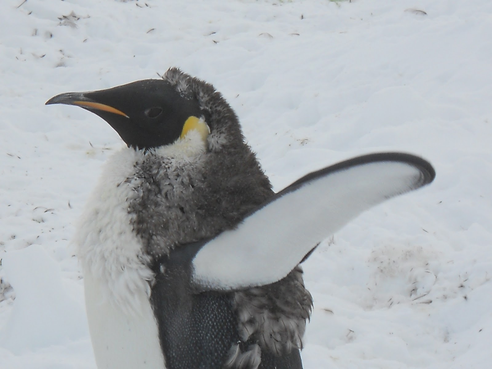
The molting process isn't always pretty.


A molting Emperor penguin.  Note how thick his down coat will be.  Toasty.


The sun keeps getting lower and lower in the sky and has dipped below the Royal Society Range peaks several times now.  The official first sunset is on the 20th.


This is the most active I've seen Mt. Erebus in my 5 months here.  The trail of sulfur fumes extended miles downwind.


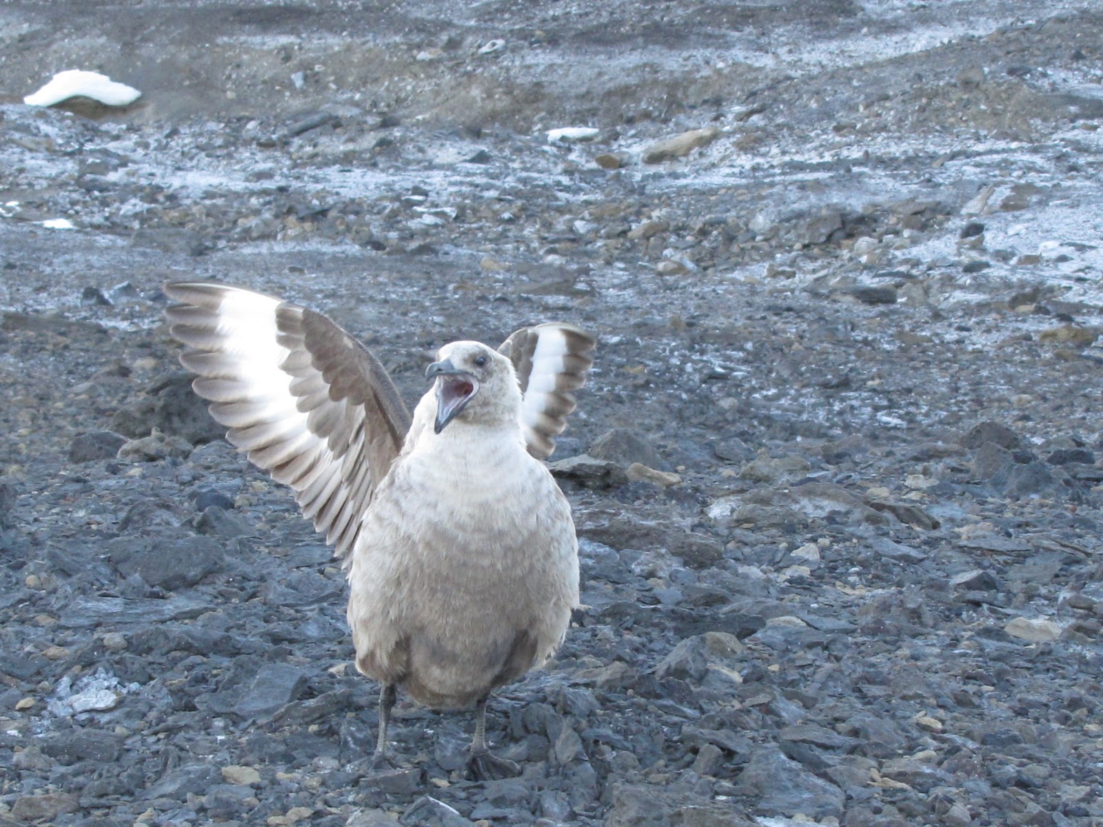
Skuas ground nest while here.


Winterquarters Bay of McMurdo Sound (of the Ross Sea) opened up 2 days ago in front of the station.  Most of the sea ice melting is the result of relatively "warm" currents, not from the sun hitting the surface.  So even though it has been getting much colder, the melting is still going full speed.  The blue colors against the white and grays of the ice were spectacular.  Hiking the Ob Hill Loop today I saw a Minke whale surface and heard it breathe deeply.


"What the...?"  Nature sculpts; man does his best.


Pressure ridges highlighted by the low angle sun.


Saturday, February 12, 2011

12 February--Planes, Ships, and Penguins

Mt. Erebus is truly entrancing.


Pressure ridges near Scott Base.
The pressure ridges continue to form and break up.  Just out of the above picture and to the left, a pressure ridge is growing up under the ice road transition.  The ice road passes over it at an oblique angle; as you climb up over it, the van leans to the left and then on the other, downhill side, it leans to the right.


Flag raising over Iwo Jima?


The freighter came in and off-loaded some 500 containers of food, supplies, and new vehicles and loaded a like number of containers of food waste, recyclables, hazardous waste, construction debris, and other sundry stuff.   Almost everything needed to keep a town of over 1,000 comes in on the ship.  Exceptions? Mail, fresh food, and things of an urgent nature.  Imagine planning all of your needs for a year--one year ahead of time!